1
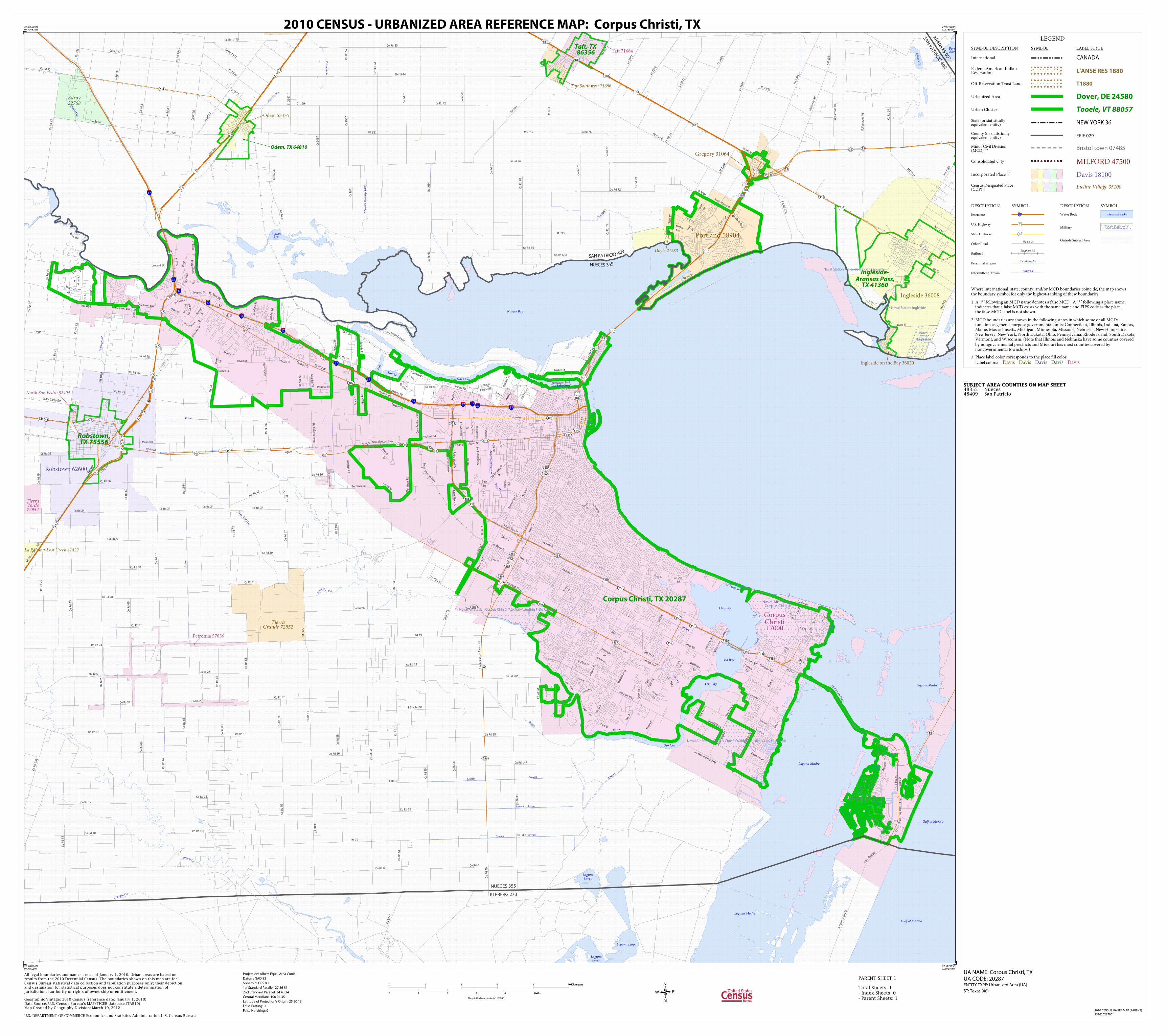
Naval Station Ingleside Naval Air Station Corpus Christi Naval Air Station Corpus Christi (Auxiliary Landing Field Cabaniss) Naval Station Ingleside (Hope Disposal) Naval Air Station Corpus Christi (Waldron Auxiliary Landing Field) Naval Station Ingleside Spears Lk Tule Lk Rincon Byu Laguna Larga Oso Bay Oso Bay Lake Oso Crk Gulf of Mexico Laguna Larga Laguna Larga Gulf of Mexico Laguna Madre Port Bay Laguna Madre Laguna Madre Nueces Bay Oso Bay Tule Lake Chnnl Tule Lake Chnnl C hiltipin Crk Pe t e r s S w a l e Hondo C r k P e t r o nil a Crk Stream Pet e r s S w a l e Stream Drainage Cnl G u m H ol w S S o o v i l l e D r a i n a g e D i t ch Stream Stream Stream Stream Stream Stream Stream W e s t O so C rk W e s t O s o C r k Stream St r e a m Stream S t re am Airport Drainageway Stream Str e a m Str e a m S t r e a m Railroad Texas Mexican Rlwy T e x a s M e xican Rlwy Missouri Pacific RR Railroad Railroad Texas M e x i can R l w y Railr o a d Railroad Missour i Pacif ic RR M i s s o u r i P a c i f i c R R R a ilr oad 37 37 37 37 37 37 37 37 37 37 37 37 37 Co Rd 48 Co Rd 14 FM 2292 Co Rd 37 B o c k h o l t R d C o Rd 35 Co Rd 33 Co Rd 77 Co Rd 31 Co Rd 57 Co Rd 36 Co Rd 5 2 McGloin Rd Co Rd 67 Co Rd 66 Co Rd 74 Co Rd 29 S Padre Island Dr P a rk R oad 22 FM 1069 N P a d r e I s l a n d Dr FM 2986 FM 631 F M 1 0 7 4 Co Rd 63 Richardson Rd FM 7 9 6 Labor Camp Exd Co Rd 78 Co Rd 10 Co Rd 67 Co Rd 10 Co Rd 43 Co Rd 8 FM 893 4th St FM 1889 F M 272 5 Sodville Rd F M 1 3 6 Co Rd 55 Co Rd 51 Co Rd 12 FM 665 Co Rd 73 Cr 2367 Co Rd 24 Co Rd 73B Co Rd 38 Co Rd 61 Co Rd 50 Co Rd 65 Co Rd 12 McKamey Rd Cr 2289 FM 631 S Main St Send ero an d Patrol Rd S H w y 7 7 Cr 2567 McCampbell Rd FM 1944 Cr 3561 Cr 1510 Cr 3579 Pvt Rd 87A Cr 3677 Cr 3865 FM 631 FM 70 Cr 1694 Cr 1458 Cr 3861 FM 893 Kenny Ln F M 328 4 Co Rd 73 Co Rd 77 Co Rd 34 Co Rd 18 FM 3386 W a r e R d FM 3 5 1 2 Co Rd 72 Cr 2467 Rand Morgan Rd FM 43 Co Rd 26 Co Rd 28 Co Rd 44 FM 1694 Co Rd 6 Co Rd 36 Co Rd 22 Cr 1 726 Co Rd 66A Co Rd 59 Co Rd 30 Co Rd 69 Co Rd 97 Co Rd 54 Co Rd 12 Cr 1568 E Main Ave Co Rd 3 0 Co Rd 69 Co Rd 75 Co Rd 75 Co Rd 73 Co Rd 75 Co Rd 6 C o R d 5 7 Co Rd 14A Co Rd 20A Co Rd 47 C o R d 51 Co Rd 53 Co Rd 1472 Co Rd 1470 Co Rd 79 Co Rd 76 Co Rd 1969 Co Rd 42 Co Rd 77 Co Rd 61 Co Rd 42 Co Rd 80 Co Rd 23 Co Rd 81 C o R d 57 C o R d 5 1 FM 2512 FM 892 Co Rd 16 Co Rd 65 Co Rd 18 Co Rd 20 C o Rd 20 Co Rd 69 Co Rd 63 C r 19 0 6 Co Rd 63 Co Rd 46 C o R d 4 9 Co Rd 67 Co Rd 69 FM 763 FM 2826 Chapman Ranch Rd Co Rd 51 Co Rd 45 Co Rd 34 Co Rd 26 S C l ar kw ood R d Agnes Co Rd 22 Co Rd 28 Co Rd 34 Co Rd 36 Co Rd 61 FM 665 Co Rd 20 Co Rd 26 Voss Ave Co Rd 34 Co Rd 33 Co Rd 75 S Staples St Co Rd 18 C o R d 5 9 Co Rd 57 C o R d 5 7 J oe Fu l ton C orridor B e a u v a i s Dr Pi n so n Dr Compton R d Agnes St B ratton Rd Glenoak Dr Em i l St Yorktown Blvd Bear Ln Ft Wort h S t McArdl e Rd Cant era T r l Spanish Trl Poth Ln U p River Rd 1st St Victoria Park Dr Wallace Ave I - 37 Suntide Rd Ayers St S Padre I sl and D r Lipan St Sandra Ln I - 37 Daly Dr Waldron Rd S Padre Island Dr Webb St Old Brownsville Rd FM 24 Graford Pl 45th St Reh fel d Rd Saratoga Blvd He a r n Rd Weber Rd L e n s Dr Ss 407 W Ss 407 W Macarth ur St Oso Pkwy S t a t e Hwy Park Rd 22 E S t 4th St Ss 407 W O r i o l e St Lam ont St Cynthia S t W i l dcat Dr Cr 200 4 Roscher Rd Stark Rd Northwest Blvd Northwest Blvd M o o r e A v e 1st St del Oso Rd Hearn R d Os o P kw y J F K e n n edy C swy Ocea n Dr Ocean Dr Partridge R d Up Ri ver Rd W 4th St Hopkins Rd Timbergate Dr el Mon te St Ss 544 E B ro a d w ay B l v d 9 t h S t Graham Rd Greenwood Dr R odd Field Rd Texan Trl Tribble L n Service Rd McKinzie Rd Wool dri dg e Rd G ree l y Dr Starl i t e Ln Road N S u n s et Dr Spoh n Dr 44th S t Purdue Rd Oso P k w y Sun B e l t Dr Pr 22 N Golla Dr Har t R d Caribbean Dr Co Rd 5 4 Co Rd 54 C o Rd 34 L i n d gre e n R d Omaha Dr Corsi c a Rd Bush St Panama Dr Up River R d Cedar Dr Jester St Oak Park Ave P r i n c ess Dr Mc Norton Rd Cimarron Blvd Junior Beck Dr Haven Dr Corn Products Rd Lang Rd Co Rd 69 Saratoga Blvd Airport Rd Slough Rd River Ln Holly Rd Dunbarton Oak Dr P eterson Al l i s o n R d Eti enne D r Barlow Trl Southbay Dr F r i o St Leopard St Leopard St C a n twel l L n Clearview Dr Timon Blvd Ramfield Rd Callicoatte Rd Flato Rd Navigation Blvd I h 3 7 N Holly Rd Co Rd 41 Flour Bluff Dr Flour Bluff Dr Violet Rd S Padre I s l a n d D r Aq u a ri u s St Rhew Rd Dove Ln P r 22 N Silverb e r r y Ai r l i n e R d Sessions Rd D St Agnes St Co Rd 75 River Trail D r N P a d r e I s l a n d D r Wa g on T rl Navigation Blvd L os Ro bl es Dr De b ra L n Tktr A Ware Rd J o e M i r e u r R d A ki ns Dr Main Dr Market St FM 624 Buddy Ganem Dr Staples St Boston Dr River Ln Greenwood Dr Ma l l a rd Dr Hereford Rd Paul Jones Ave R e n f ro w R d Leopard St Leopard St 35 44 44 361 35 286 358 357 234 286 286 44 44 44 44 286 286 286 358 286 358 358 44 44 44 361 35 361 35 35 358 358 358 544 358 358 358 286 358 357 357 544 286 44 358 407 544 361 407 35 357 77 77 181 77 77 181 77 77 77 77 77 181 181 181 77 181 77 181 77 77 181 77 181 77 77 77 77 181 181 181 181 77 77 181 77 77 181 KLEBERG 273 NUECES 355 SAN PATR I C I O 4 0 9 N U ECES 3 5 5 ARANSAS 007 SAN PATRICIO 409 Taft Southwest 71696 Tierra Grande 72952 North San Pedro 52404 Edroy 22768 La Paloma-Lost Creek 41422 Tierra Verde 72954 Doyle 21283 Ingleside on the Bay 36020 Taft 71684 Ingleside 36008 Petronila 57056 Robstown 62600 Odem 53376 Portland 58904 Corpus Christi 17000 Gregory 31064 Corpus Christi, TX 20287 Taft, TX 86356 Ingleside- Aransas Pass, TX 41360 Robstown, TX 75556 Odem, TX 64810 LEGEND SYMBOL DESCRIPTION SYMBOL LABEL STYLE International CANADA Federal American Indian Reservation L'ANSE RES 1880 Off-Reservation Trust Land T1880 Urbanized Area Dover, DE 24580 Urban Cluster Tooele, VT 88057 State (or statistically equivalent entity) NEW YORK 36 County (or statistically equivalent entity) ERIE 029 Minor Civil Division (MCD) 1,2 Bristol town 07485 Consolidated City MILFORD 47500 Incorporated Place 1,3 Davis 18100 Census Designated Place (CDP) 3 Incline Village 35100 DESCRIPTION SYMBOL DESCRIPTION SYMBOL Interstate 3 U.S. Highway 2 State Highway 4 Other Road Marsh Ln Railroad Southern RR Perennial Stream Tumbling Cr Intermittent Stream Piney Cr Water Body Pleasant Lake Military Fort Belvoir Outside Subject Area Where international, state, county, and/or MCD boundaries coincide, the map shows the boundary symbol for only the highest-ranking of these boundaries. 1 A ' ° ' following an MCD name denotes a false MCD. A ' ° ' following a place name indicates that a false MCD exists with the same name and FIPS code as the place; the false MCD label is not shown. 2 MCD boundaries are shown in the following states in which some or all MCDs function as general-purpose governmental units: Connecticut, Illinois, Indiana, Kansas, Maine, Massachusetts, Michigan, Minnesota, Missouri, Nebraska, New Hampshire, New Jersey, New York, North Dakota, Ohio, Pennsylvania, Rhode Island, South Dakota, Vermont, and Wisconsin. (Note that Illinois and Nebraska have some counties covered by nongovernmental precincts and Missouri has most counties covered by nongovernmental townships.) 3 Place label color corresponds to the place fill color. Label colors: Davis Davis Davis Davis Davis SUBJECT AREA COUNTIES ON MAP SHEET 48355 Nueces 48409 San Patricio 27.996001N 97.704876W 27.984908N 97.178505W 27.517915N 97.192194W 27.528961N 97.71608W All legal boundaries and names are as of January 1, 2010. Urban areas are based on results from the 2010 Decennial Census. The boundaries shown on this map are for Census Bureau statistical data collection and tabulation purposes only; their depiction and designation for statistical purposes does not constitute a determination of jurisdictional authority or rights of ownership or entitlement. U.S. DEPARTMENT OF COMMERCE Economics and Statistics Administration U.S. Census Bureau Geographic Vintage: 2010 Census (reference date: January 1, 2010) Data Source: U.S. Census Bureau's MAF/TIGER database (TAB10) Map Created by Geography Division: March 10, 2012 ENTITY TYPE: Urbanized Area (UA) UA NAME: Corpus Christi, TX UA CODE: 20287 Projection: Albers Equal Area Conic Datum: NAD 83 Spheroid: GRS 80 1st Standard Parallel: 27 36 51 2nd Standard Parallel: 34 43 24 Central Meridian: -100 04 35 Latitude of Projection's Origin: 25 50 13 False Easting: 0 False Northing: 0 Total Sheets: 1 - Index Sheets: 0 - Parent Sheets: 1 ST: Texas (48) 0 2 4 6 8 10 Kilometers 10 Kilometers 0 1 2 3 4 5 Miles 5 Miles The plotted map scale is 1:70900 2010 CENSUS - URBANIZED AREA REFERENCE MAP: Corpus Christi, TX 2010 CENSUS UA REF MAP (PARENT) 231020287001 PARENT SHEET 1